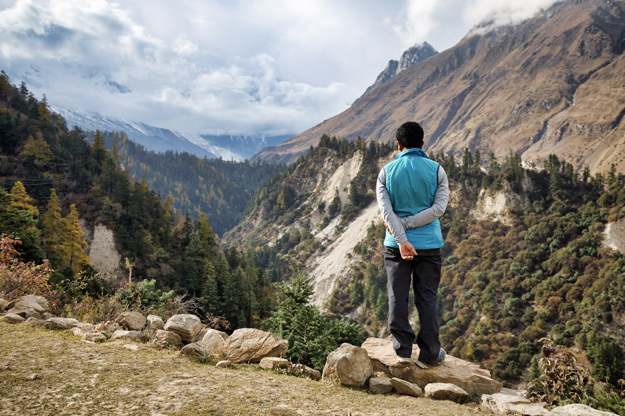
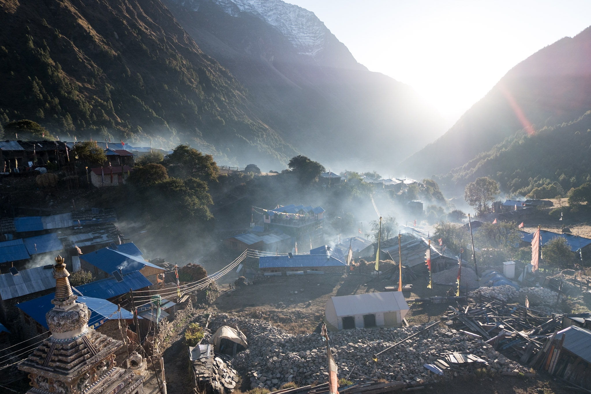
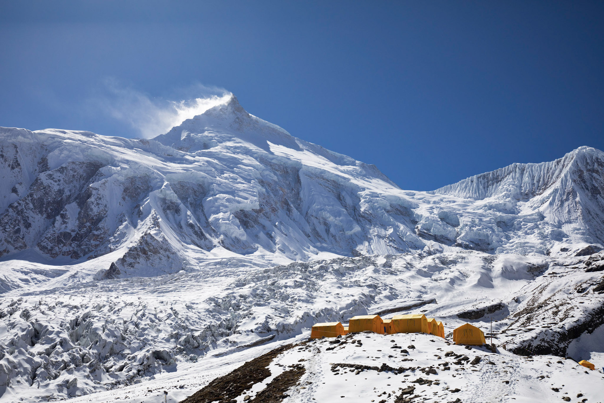
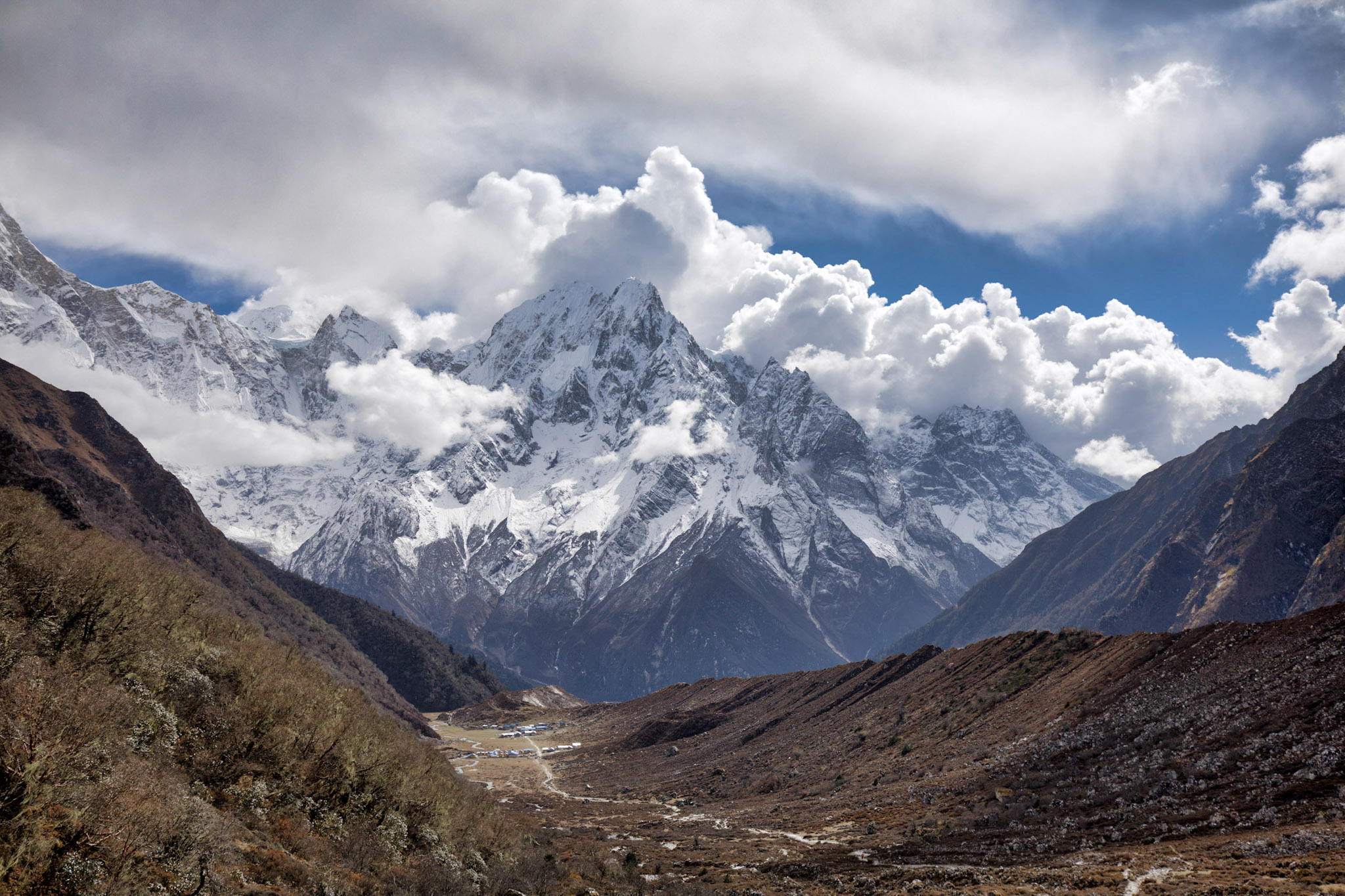
The Manaslu Circuit Trek is a beautiful and challenging trek that takes you around the eighth highest peak in the world, Mount Manaslu.
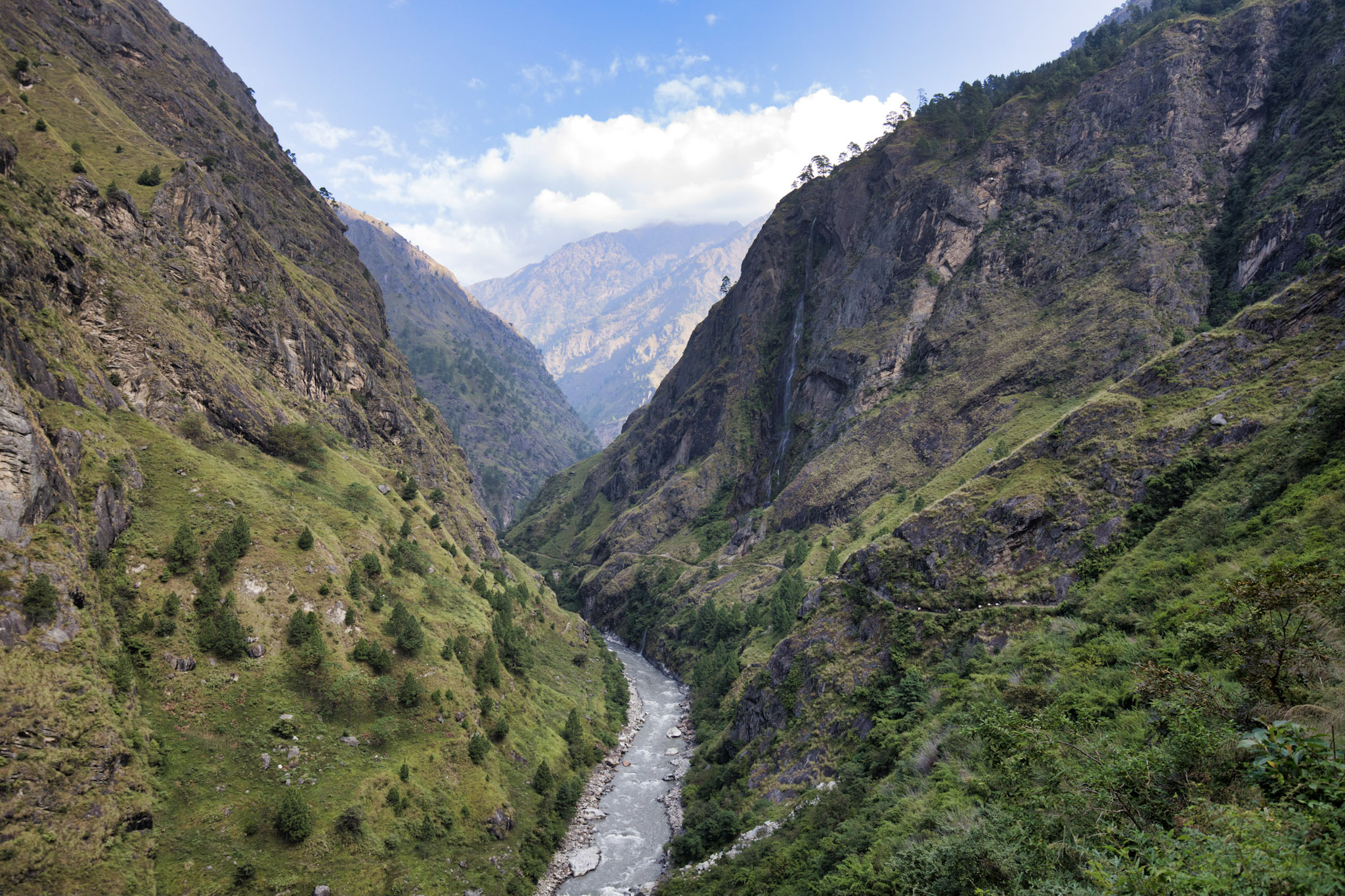
This trek offers a unique blend of culture and nature, as you pass through traditional villages and stunning mountain landscapes. The route follows the Budhi Gandaki river and takes you through diverse vegetation, from lush forests to high alpine meadows.
The Manaslu Circuit Trek is a truly unforgettable experience that offers something for every type of trekker.
Duration
12 - 16 days
Maximum Altitutde
5.106 m
Daily Activity
4 - 7 hours
Season
September - November
The itinerary for this trip is laid out such that the gain in altitude is very gradual. That way we can acclimatise our bodies slowly and we minimise the risk of altitude sickness. I have completed the Manaslu Circuit trek using this itinerary many times and it has proven to be very effective.
Drive from Kathmandu to Arughat Bazar (608m), the starting point of the trek.
Trek through the lush green landscapes via Laphubesi (890m) to Khorlabesi (970m). Watch out for little apes on the way.
Trek to Jagat (1350m). A brief stop at Tatopani, to check out the hot spring is followed by a steep climb through Dobhan. The trail drops down into the banks of the Yaru Khola at Yaru Beshi and is followed by a couple of good climbs until Jagat, a small village by the banks of Budhi Gandaki River.
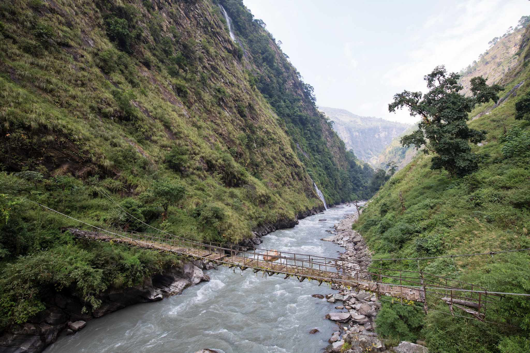
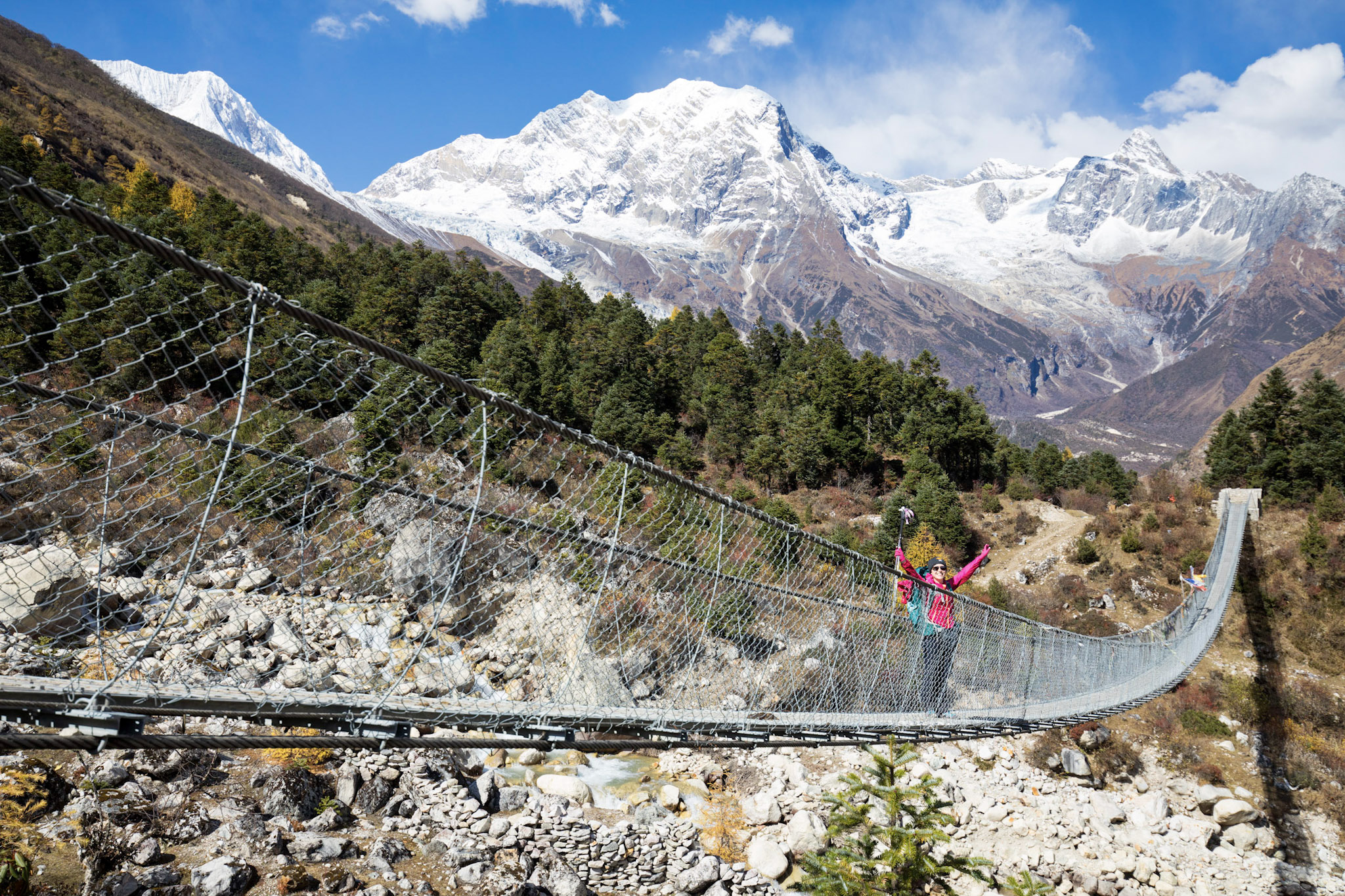
Trek to Dang (1860m). We trek through terraced hillside on an undulating trail. We cross the river on a suspension bridge at Nagjet and recross to climb to Nyak. From here the trek continues to the Gurung village of Deng, a superb viewpoint for the peaks of the Shringi Himal to the north east.
Trek to Namrung (2630m). A quick drop down to the river is followed by a steep climb until the village of Rana. The trail yet again drops and gradually ascends to Bihi Phedi and then undulates into the valley and finally reaches Ghap. The trek continues gradually gaining more height through the forest following the now much smaller Budhi Gandaki River. A steep climb through the forest until the village of Namrung ends the day.
Trek to Lho (3180m). From Namrung onwards, the trek now enters into the higher altitude. After a brief walk on an easy terrain, the trail starts to go uphill until the village of Shyo. The first view of Manaslu appears towards west as the path drops into a river and yet again gets uphill until it reaches Lho.
Trek to Sama Gaun (3520m). The trail once again drops into a river and yet again, is followed by a climb. The climb ends at Shyala and the valley starts to open up with the trail turning into an easy walk through the pasture lands.
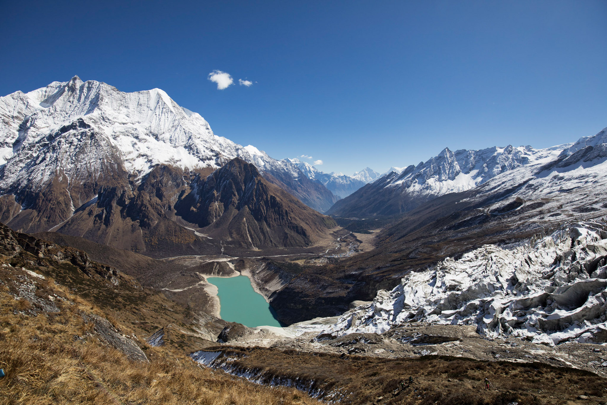
Acclimatisation day at Sama Gaun. The options at Sama Gaon are a short hike to the nearby beautiful lake named Birendra Taal or a full day hike (6 hours) to the Pungyen Gomba and back.
Trek to Samdo (3860m). The trail gradually climbs through the valley and continue to follow the river. The path then gets steeper at the end of the day and reaches the village of Samdu, with Samdu Peak (6335 meters) towering on the east direction.
Trek to Dharmasala (4460m). The trail gradually descends briefly and then starts to ascend afterwards towards the Larkya Glacier. The path becomes easier and ends at the start of the next day’s climb at Dharmasala.
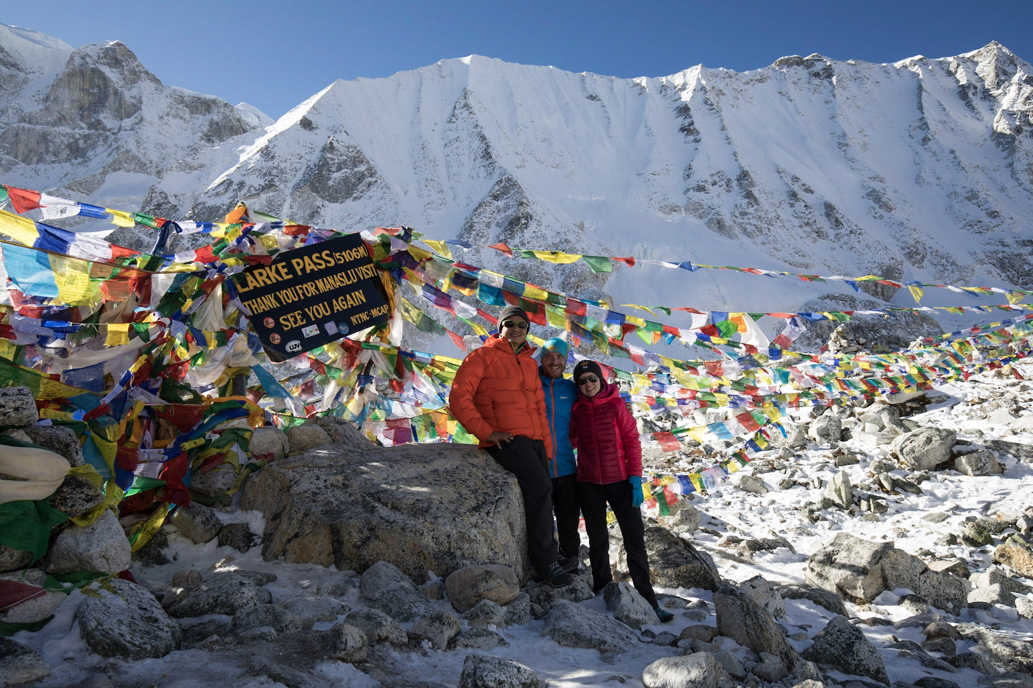
Cross Larkya La Pass (5106m) and trek to Bhimthang (3610m). An early start and a gradual ascend into the Larkya Glacier only ends at the top of the pass. The top rewards with the views of Himlung (7126 m), Annapurna II (7937 m), Kang guru (6981 m) and several other pinnacles standing above 6000 meters. A steep drop starts on the snow and later on, the glacial moraine continues for the rest of the day. The descent finally ends with the view of Bhimthang located on a huge flat ground.
Trek to Goa (2515m). The trail quickly drops in and out of a glacier and then starts to drop towards the lower valley through the forest. The path once again follows the river by its banks and finally passes through Surki Khola while consistently losing more altitude. The path continues to get downhill and finally ends at Goa.
Trek to Goa (2515m). The trail quickly drops in and out of a glacier and then starts to drop towards the lower valley through the forest. The path once again follows the river by its banks and finally passes through Surki Khola while consistently losing more altitude. The path continues to get downhill and finally ends at Goa.
We end the trek and drive either back to Kathmandu or to the beautiful city of Pokhara.
During our time on the trek we will sleep in so called Tea Houses. A Tea House is a small private lodging that is usually run by a local family. We will get our breakfast and dinner at the Tea House we are sleeping that night. For the lunch we will rest at a Tea House on the way. As the distances between Tea Houses are in general never more than 3-4h of trekking, we don't need to carry full meals.
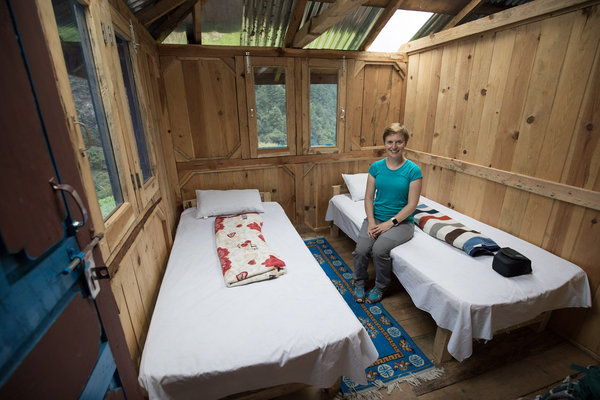
Tea Houses are run by local families and offer basic comfort.
It is possible to choose from traditional Nepalese dishes like Dal Bhat or western food, like Pasta.
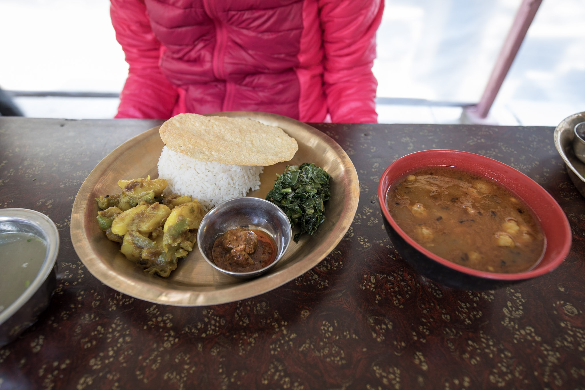
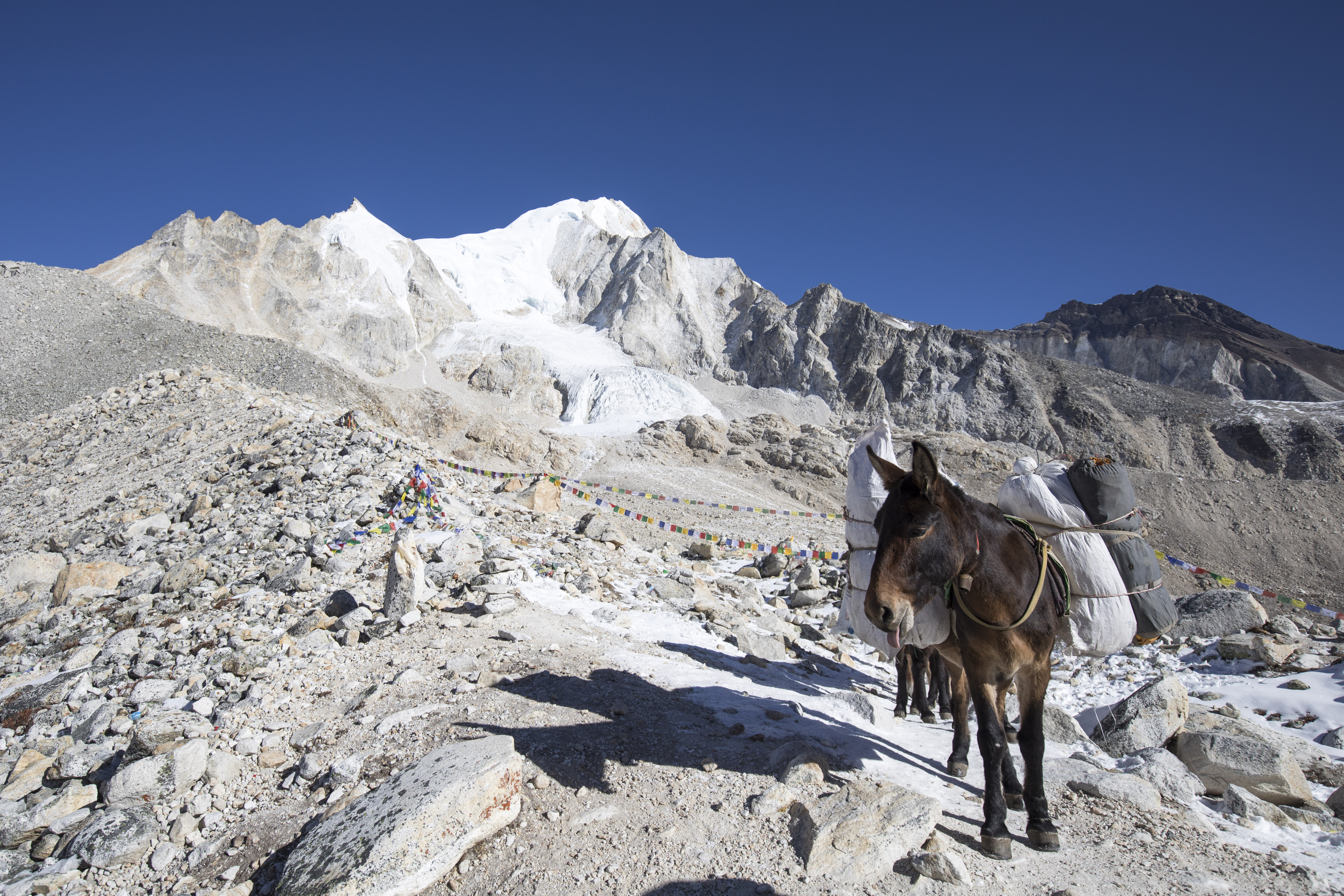
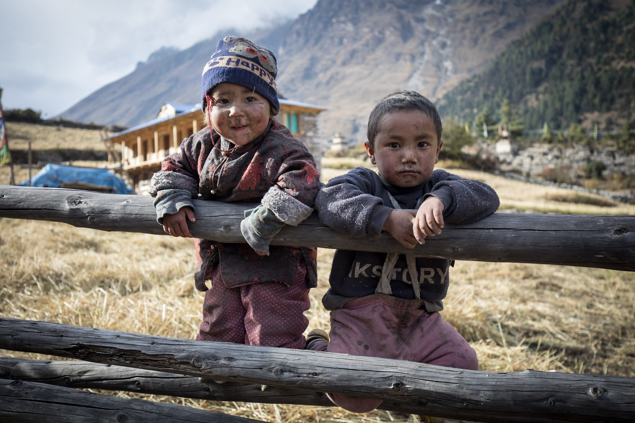
Please remember that while Nepalese people work very hard to offer the best possible comfort to visitors, the places you will visit are very remote and all supplies need to be carried by Mules.
I have found that the best experiences for my customers are those where I handle all the planning and bookings, ensuring that every detail is taken care of. That's why I offer all-inclusive packages, which take the stress and worry out of the equation for my clients. They can simply relax and enjoy their trek, knowing that everything is taken care of and that they are in good hands. I believe this is the key to a truly unforgettable and enjoyable experience in the Himalayas.